Grand Canyon
A steep-sided canyon carved by the Colorado River over millions of years.
Place overview
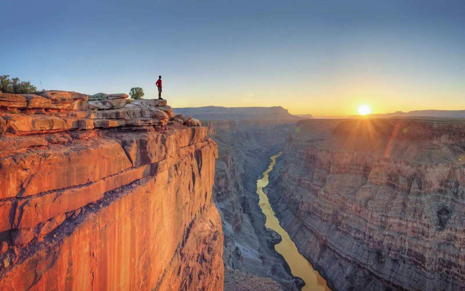
The Grand Canyon is a steep-sided canyon carved by the Colorado River in Arizona, United States. It's 277 miles (446 km) long, up to 18 miles (29 km) wide and attains a depth of over a mile (6,093 feet or 1,857 meters).
Nearly two billion years of Earth's geological history are exposed as the Colorado River cuts layer after layer of rock. Recent studies support the hypothesis that the Colorado River established its course through the area about 50–70 million years ago in the most eastern section and 5-6 million years ago in the westernmost section. Since that time, the Colorado River has driven the deepening and widening the canyon.
The great depth of the Grand Canyon can be attributed to 5,000–10,000 feet (1,500–3,000 m) of uplift of the Colorado Plateau, starting about 65 million years ago (during the Laramide orogeny). This uplift has steepened the stream gradient of the Colorado River and its tributaries, which in turn has increased their speed and thus their ability to cut through rock.
The Grand Canyon was made a national park as early as 1919. and was designated as a Unesco Heritage site in 1979 for its outstanding natural value and geological significance.
Learn more about Grand CanyonView places in the same country
Gallery
View the source gallery here: Grand Canyon Wikimedia